

Things I Found on the Internet will be an ongoing blog series highlighting cool things found on the internet that aren’t maker related, but might be enjoyable or good references or examples of design to experience.
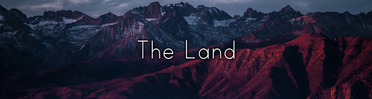
Today’s Theme Is: Earth Exploration! We started out in the depths of space, but now we’ve landed back on on our home planet to explore. From the deepest seas, to the highest mountains, learning how they were made as well as understanding climate change and disasters– through comparison videos, interactive data visualization, and more!

From the furthest depths of deep space we go to the depths of our very oceans– which are less explored than space!
Another one of Neal’s works should also be highlighted– The Deep Sea is a scrolling adventure from the surface of the ocean to the bottom of the Challenger Deep– the deepest known place in the ocean. In between you learn some neat facts and see many different kinds of weird and wonderful creatures that live under the surface!
For more sea expiration, we have a video from Tech Insider and another from RealLifeLore exploring the depths of our seas! Natural World Facts has a 16 minute video exploration of our oceans and a site for further exploration.
Xavier Bourry created a simple Ocean Simulator for Google Experiments. Monokai created the Deep Sea Stress, where you create a deep sea creature. David Li lets us play with wave physics.
NASA has a game geared towards kids that helps understand ocean currents. For adults, games like Beyond Blue and Abzu recreate the experience of ocean exploration. (Beyond Blue and Abzu need to be purchased.)
If video infographics are your thing, MetalBall Studios and Red Side are at it again with tsunami comparisons. Reigarw Comparisons has a good one, and Mahma Comparisons uses the Statue of Liberty and the rest of lower Manhattan as a reference.
We return back on land to explore the tallest mountains– some of them quite literally out of this world!
Red Side has a comparison of some of the tallest mountains on Earth, compared with Olympus Mons on Mars.
Metal Ball Studios here again comparing some mountains on other planets and moons in our solar system! Even cooler is a visualization of just how deep the inside of our planet is!
Brain Chicken’s version adds a little more information on Olympus Mons, but is more or less similar to the other two.
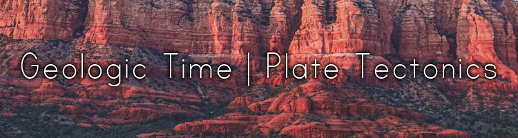
The history of our planet’s geology and its plate tectonics are tied to one another, so instead of keeping them separate, I put them together. Our planet is a dynamic one, which has helped us harbor life, but also some of our most devastating disasters– if the tsunami comparisons above have proven anything. The ground beneath us has moved for millions of years before us and will continue to do so on a very slow and long scale.
ChronoZoom explores scales from the universal, to our geologic, biologic, and even human timescales! This is a joint venture made between Microsoft, The University of California Berkeley, and Lomonosov Moscow State University.
The University of Alberta has an interactive tool on the Geologic Time Scale for their Dino 101 Coursera Course (It’s not technically geology related, it’s a free course so if you’re into paleontology it might be worth checking out!)
Deeptime shows our geologic time scale as a 12 hour clock. The longer you stay on the page, it will calculate those seconds/minutes into years compared on the geologic time scale. The actual hands of the clock itself shows your current time. (I thought that was neat.)
eduMedia’s Geologic Clock is a little more interactive, though some of the elements are subscription locked.
Ancient Earth Globe lets you explore how the Earth looked from 750 million years ago to today. You can also search for a city and it will show you where that place was in your chosen time.
GPlates is software to help visualize and and simulate plate tectonics. You can down load it for free and explore it on your own, or explore some other simulations created by others.
Earth Viewer is another interactive visualization that shows the geology of the planet throughout its history.
The Smithsonian Magazine has a interactive page showing the history of the earth in a few select snapshots.
New York Times has an animated infographic on continental drift.
Christopher Scotese’s Paleomap Project‘s Quicktime and Flash animations were my go-to back in the day, but sadly in 2021 is a bit of an early 2000s internet relic. Luckily his simulations are now videos on YouTube!
Algol creates a 11 minute time-lapse of the geologic time scale.
While not educational, but available for purchase is this World Creator engine, a tool in creating your own worlds!
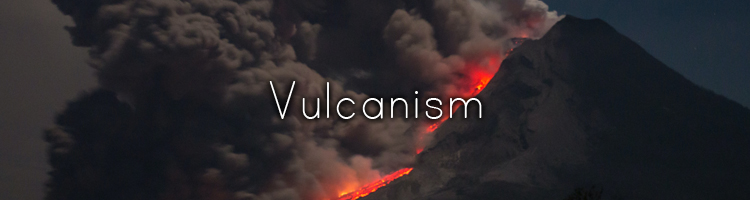
Created by plate tectonics, vulcanism is the phenomena of molten rock eruptions. This isn’t just on Earth, geology shows it has happened on most of our terrestrial planets– and even on the moon Io! (Titan and Pluto have a similar phenomena called cryovulcanism which is ice or liquid gases like methane instead of rock!)
The US Geologic Survey keeps an eye out on volcanic hazards on the what is known as the “Ring of Fire”, a rift that covers a large swathe of the northern Pacific ocean.
National Geographic has a interactive infographic of Earth’s Major Volcanoes.
Our World in Data has a infographic covering significant volcanic activity from 1750 BCE to 2007 CE.
Apparently many designers like to revisit old infographics and improve upon them. Rachael Dottle updated another infographic showing the volcanoes that have erupted since 1880. Here is the original infographic from Lazaro Gamio.
Robert Curtis takes one of his friends’ Danny Bradley’s static infographic on volcanoes active since Krakatoa (1883) and makes it interactive.
For videos, Reigarw Comparisons shows the comparative power of these volcanoes on YouTube, and Mahma Comparisons shows the largest eruptions.
While not available for the public I came across this Volcano Simulator directed for educators and museums to show eruptions in real time from the safety of virtual reality.

On a more serious note; our planet’s changing climate is a a concerning and important issue. Not just for us, but for everything on the planet itself. All the same, many of creators have made informative and interactive ways to understanding this phenemenon.
NASA has a Climate Time Machine, where you can see the changes of our planet over time, depending on the entry. Things like the Arctic ice minimum from 1979 to 2020, global temperatures, and more.
Earth is a global map of different, wind, water, and air conditions, that uses real time data, or data going back as far as 1981.
The Climate Impact Lab creates a map shows temperature changes from 1981 to predictions beyond 2020 to 2099 in the US and some countries around the globe.
Bloomberg Green has a interactive infographic, comparing the ability to estimate how we can slow global warming, depending on what actions you device to make.
Future Cities is an interactive map showing the predicted temperature rise in specific cities. What Will the Climate Feel Like in 60 Years? is a similar interactive map made by the University of Maryland– but with a specific date of 60 years from now, assuming things do not change before then.
The LA Times has a simple interactive game focusing on beach erosion, Christina Tarquini uses Chrome Experiments to explore the ocean in Diving into an Acidifying Ocean.
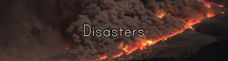
Natural disasters are part and parcel of our existence on a dynamic planet with a tectonic activity, an atmosphere and oceans full of currents that create our climate and weather. Keeping an eye and tracking patterns and preparation is the only way to live with them, and their consequences.
While these are more geared for children, these interactive disaster preparation games are worth checking out! (Unfortunately I had found several that are Shockwave/Flash based and won’t work in 2021). Others were like paid seminar style projects for professional, which important, doesn’t help us
The Smithsonian has created Disaster Detector to teach you how to analyze and predict disasters to hep better prepare. The above link is flash based; but they have a version for iOS devices.
Ready.gov’s Disaster Master is more like an interactive comic covering all kinds of disaster preparation.
Classic Reload, has restored an old DOS era game Firestorm, which is a forest fire simulator. Interactivate has Fire!!, among other interactive activities (under their Learner tab).
The United Nations created Stop Disasters to understand the risks disasters pose and how to prepare with a limited set of resources.
For video comparisons, we have Latos Charts showing off every earthquake that has occurred from 1900 to 2019.
Mahna Comparisons shows the largest magnitude earthquakes ever measured.
Reigarw Comparisons has some on wildfires, earthquakes, tornadoes, and hurricanes.
Red Side has one on tornadoes and hurricanes as well.
That’s all I have for now! Next time, we’ll be taking a look into the life and biology– real and speculative!